Landsat Next Defined

Landsat Next Defined

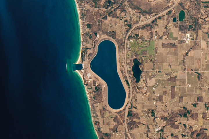
Landsat Next is on the horizon—the new mission will not only ensure continuity of the longest space-based record of Earth’s land surface, it will fundamentally transform the breadth and depth of actionable information freely available to end users. Take a look at the new capabilities that will define the next Landsat mission.

Read More »

Expanding OpenET Across Amazon Basin

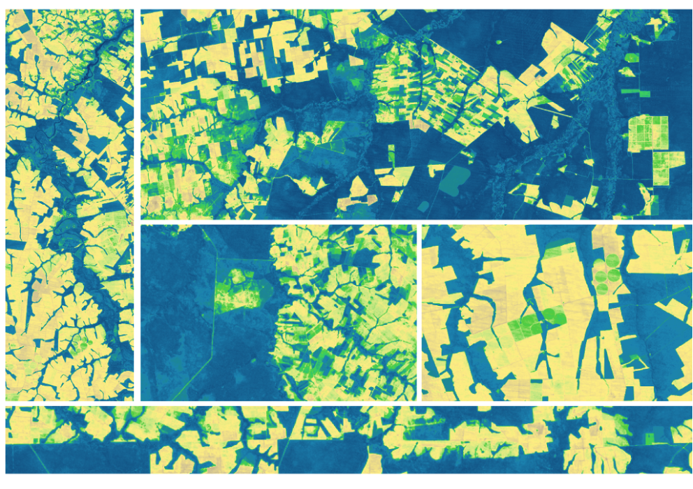
The research teams who help sustain the largest freshwater reserve in the world are developing a new tool to promote more resilient farming systems in Brazil. The goal is to help farmers better handle changes in the water cycle, deal with droughts, and adapt to a changing climate.

Read More »
Landsat Next Defined

Landsat Next Defined

Landsat Next is on the horizon—the new mission will not only ensure continuity of the longest space-based record of Earth’s land surface, it will fundamentally transform the breadth and depth of actionable information freely available to end users. Take a look at the new capabilities that will define the next Landsat mission.

Read More »

Expanding OpenET Across Amazon Basin

The research teams who help sustain the largest freshwater reserve in the world are developing a new tool to promote more resilient farming systems in Brazil. The goal is to help farmers better handle changes in the water cycle, deal with droughts, and adapt to a changing climate.

Read More »

“The Landsat time series is so convenient and easy to use and has triggered science that was not possible a few decades ago.”


“During the decade following 1969, a singular development catapulted computer mapping: the launch of Landsat by NASA and the U.S. Department of the Interior in July 1972.”


“The success of a mission, and the societal benefits it creates, relies on many factors, including design, manufacture, launch, and operation of the sensor. However, it also includes data acquisition, accessibility, availability, and continuity, all of which are embodied by the Landsat program.”


“We did a study… where we were looking at the main drivers of change in mangrove forests on a global scale. And we would not have been able to do that if it wasn’t for Landsat data and the standardized, well-calibrated data sets that come out of Landsat.”


“Having all of this [30 m] Landsat data available more or less globally since 1984 will keep glaciologists busy for some more years, if not decades.”


“The first step of ecosystem accounting is to actually map the dynamics of ecosystems over time.”


“Landsat 8 is part of a revolution of how much remote sensing can do to track the polar areas.”


“Free and open access to the Landsat archive has already spurred scientific innovation and provided a foundation for REDD+ monitoring, reporting and verification.”


“Over the past 50 years, eight Landsat satellites have circled the planet, which have helped to save and improve lives and support our economy. NASA will continue to work with USGS to improve access to Landsat’s unprecedented 50-year record and build on the program’s legacy.”


“This project would not have been possible without the consistent, long-term coverage provided by Landsat. The > 30-year archive of Landsat TM, ETM+, and OLI imagery enabled us to track changes in mangrove range limits on decadal scales.”


“Sentinel-2a is essentially Europe’s version of the American Landsat mission.”


“The use of [Landsat] satellite imagery provides the means to monitor the agricultural water consumption over every square foot of land surface.”


“The US satellite series—its current flier is named Landsat 8—pioneered the science of monitoring the planet from orbit. It has assembled a continuous record of the world’s fluctuating features that stretches back more than 40 years. In satellite terms, it is the gold standard.”


“Earth Observation data acquired by the Landsat missions are of immense value to the global community and constitute the world’s longest continuous civilian Earth Observation program.”


“Landsat optically observes Earth’s surface through measurement of reflectivity and temperature in polar ice and oceans, as well as across the Earth, and these are two key geophysical parameters for measuring and modeling surface energy balance.”


“We had to push the spatial resolution because we’re interested in humans.”


“The Landsat satellites have also proved to be very useful, particularly for trying to do more detailed, finer-scale risk mapping.”


“Very importantly, big data and its use for societal good is based on really progressive data policies. The Landsat sensor has 40 years of data in the archive and it is available to anyone on the planet.”


“Having water consumption maps produced quickly on Smartphones has been everyone’s dream. In two years time we hope to see all farmers watching their fields from their phones and scheduling irrigations. EEEFlux is making Landsat the evapotranspiration satellite.”


“Last year the White House found that GPS, weather satellites, and Landsat are the three most critical types of Earth-orbiting assets for civil applications, because they’re used by many economic sectors and fields of research.”


“Our new interface specifically uses Landsat to track flow velocity fields of Greenland’s outlet glaciers and how they have changed over time.”


“Landsat is the longest civil satellite data collection we have. The USGS opening the archive has created opportunities for instructors like us to integrate students.”


“A recent industry report estimates that total annual value of $2.19 billion, far exceeding the multi-year total cost of building, launching, and managing Landsat satellites and sensors. The value is derived from consumer use of the data. There is no inherent value in idle data.”


Landsat 9 bw
Landsat 9 bw
Landsat 9 bw

The NASA/USGS Landsat Program provides the longest continuous space-based record of Earth’s land in existence. Landsat data give us information essential for making informed decisions about Earth’s resources and environment.